42B Prices Lane
Introduction
The photograph on this page of 42B Prices Lane by Ian Capper as part of the Geograph project.
The Geograph project started in 2005 with the aim of publishing, organising and preserving representative images for every square kilometre of Great Britain, Ireland and the Isle of Man.

There are currently over 7.5m images from over 14,400 individuals and you can help contribute to the project by visiting https://www.geograph.org.uk
42B Prices Lane
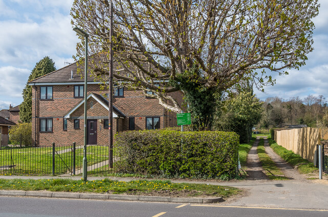
Image: © Ian Capper Taken: 3 Apr 2020
Late 1990s block of 4 small flats. The track on the right leads to Riding School Allotments (see Image).
Images are licensed for reuse under creativecommons.org/licenses/by-sa/2.0
Image Location


Leaflet Map data © OpenStreetMap
Latitude
51.223061
Longitude
-0.203114