Grosvenor Mews
Introduction
The photograph on this page of Grosvenor Mews by Ian Capper as part of the Geograph project.
The Geograph project started in 2005 with the aim of publishing, organising and preserving representative images for every square kilometre of Great Britain, Ireland and the Isle of Man.

There are currently over 7.5m images from over 14,400 individuals and you can help contribute to the project by visiting https://www.geograph.org.uk
Grosvenor Mews
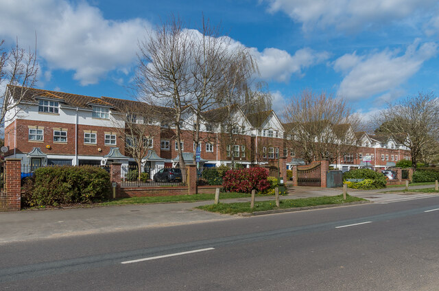
Image: © Ian Capper Taken: 3 Apr 2020
Late 1990s development on Prices Lane. Old maps show a riding school on the site, a reference to which has been retained in the name of some nearby allotments, Riding School Allotments (see Image). A later occupant of the site was a printing firm, McCorquodale Card Technology.
Images are licensed for reuse under creativecommons.org/licenses/by-sa/2.0
Image Location
Latitude
51.223657
Longitude
-0.201501