Footpath, Stella Gill Flatts
Introduction
The photograph on this page of Footpath, Stella Gill Flatts by Adrian Taylor as part of the Geograph project.
The Geograph project started in 2005 with the aim of publishing, organising and preserving representative images for every square kilometre of Great Britain, Ireland and the Isle of Man.

There are currently over 7.5m images from over 14,400 individuals and you can help contribute to the project by visiting https://www.geograph.org.uk
Footpath, Stella Gill Flatts
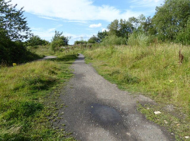
Image: © Adrian Taylor Taken: 20 Aug 2020
The public footpath from Stella Gill to High Flatts where it passes the site of the former Stella Gill Coke Works.
Images are licensed for reuse under creativecommons.org/licenses/by-sa/2.0
Image Location
Latitude
54.864567
Longitude
-1.593616