Footpath at end of Coppins lane
Introduction
The photograph on this page of Footpath at end of Coppins lane by John Chisholm as part of the Geograph project.
The Geograph project started in 2005 with the aim of publishing, organising and preserving representative images for every square kilometre of Great Britain, Ireland and the Isle of Man.

There are currently over 7.5m images from over 14,400 individuals and you can help contribute to the project by visiting https://www.geograph.org.uk
Footpath at end of Coppins lane
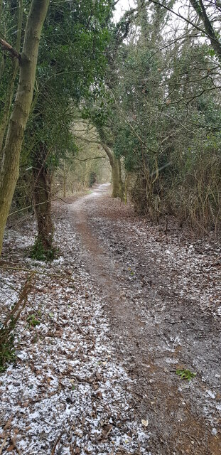
Image: © John Chisholm Taken: 8 Feb 2021
Heading east towards Palmers Moor
Images are licensed for reuse under creativecommons.org/licenses/by-sa/2.0
Image Location
Latitude
51.527833
Longitude
-0.505229