Alabama Street, Plumstead
Introduction
The photograph on this page of Alabama Street, Plumstead by Marathon as part of the Geograph project.
The Geograph project started in 2005 with the aim of publishing, organising and preserving representative images for every square kilometre of Great Britain, Ireland and the Isle of Man.

There are currently over 7.5m images from over 14,400 individuals and you can help contribute to the project by visiting https://www.geograph.org.uk
Alabama Street, Plumstead
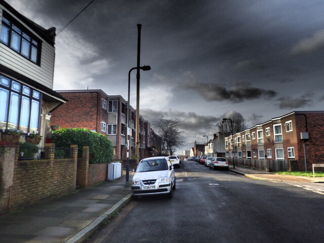
Image: © Marathon Taken: 15 Feb 2021
Alabama Street has, like much of this part of Plumstead, Victorian houses on either side of the street except for a gap between Lucknow Street and Pegwell Street. On either side of Alabama Street there are terraces of modern houses. The reason is that at 20.00 hours on 20th March 1941, a high explosive land mine came down here, killing a total of 27 people. Two gravestones to some of them can be seen at https://www.geograph.org.uk/photo/6466124 and https://www.geograph.org.uk/photo/6493852
Images are licensed for reuse under creativecommons.org/licenses/by-sa/2.0
Image Location
Latitude
51.476883
Longitude
0.087124