Bell Busk
Introduction
The photograph on this page of Bell Busk by Chris Thomas-Atkin as part of the Geograph project.
The Geograph project started in 2005 with the aim of publishing, organising and preserving representative images for every square kilometre of Great Britain, Ireland and the Isle of Man.

There are currently over 7.5m images from over 14,400 individuals and you can help contribute to the project by visiting https://www.geograph.org.uk
Bell Busk
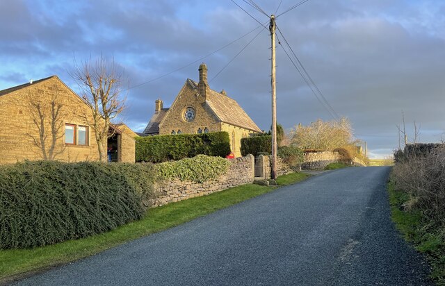
Image: © Chris Thomas-Atkin Taken: 15 Dec 2020
The small hamlet known as Bell Busk. The Hamlet is close to where the Otterburn Beck joins the River Aire.
Images are licensed for reuse under creativecommons.org/licenses/by-sa/2.0
Image Location
Latitude
54.005777
Longitude
-2.151774