Old guidestone
Introduction
The photograph on this page of Old guidestone by Chris Minto as part of the Geograph project.
The Geograph project started in 2005 with the aim of publishing, organising and preserving representative images for every square kilometre of Great Britain, Ireland and the Isle of Man.

There are currently over 7.5m images from over 14,400 individuals and you can help contribute to the project by visiting https://www.geograph.org.uk
Old guidestone
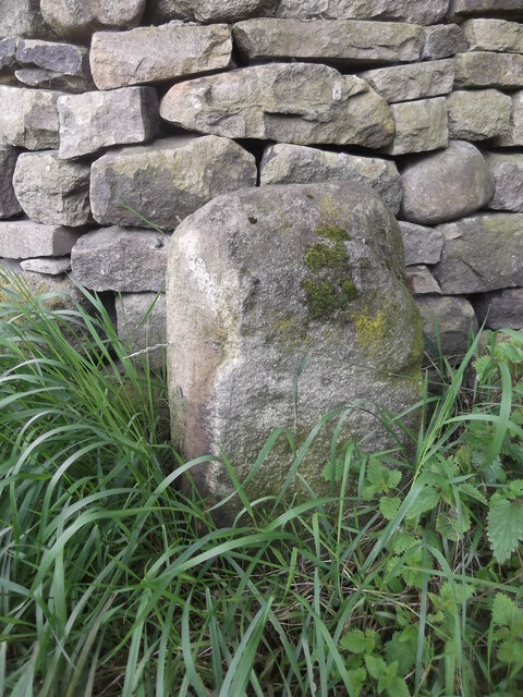
Image: © Chris Minto Taken: 9 Aug 2017
A newer photo of the stone on the unmade part of Lyon Road in Eastburn which continues north eastwards towards the River Aire. This may have been an old drove road towards Silsden. There are 2 small lead filled holes in the back but not in places which suggests its use as a gatepost. There are no remnants of an inscription
Images are licensed for reuse under creativecommons.org/licenses/by-sa/2.0
Image Location
Latitude
53.899814
Longitude
-1.966483