Framed! A Ringley View
Introduction
The photograph on this page of Framed! A Ringley View by David Dixon as part of the Geograph project.
The Geograph project started in 2005 with the aim of publishing, organising and preserving representative images for every square kilometre of Great Britain, Ireland and the Isle of Man.

There are currently over 7.5m images from over 14,400 individuals and you can help contribute to the project by visiting https://www.geograph.org.uk
Framed! A Ringley View
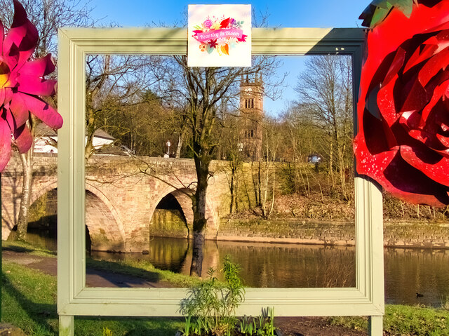
Image: © David Dixon Taken: 15 Feb 2021
A view of two of Ringley's 17th-century landmarks, Image] and Image], looking through the large (21st century) picture frame which has been constructed at the side of the river.
Images are licensed for reuse under creativecommons.org/licenses/by-sa/2.0
Image Location
Latitude
53.543709
Longitude
-2.359421