Hayton parish church
Introduction
The photograph on this page of Hayton parish church by Ian Lavender as part of the Geograph project.
The Geograph project started in 2005 with the aim of publishing, organising and preserving representative images for every square kilometre of Great Britain, Ireland and the Isle of Man.

There are currently over 7.5m images from over 14,400 individuals and you can help contribute to the project by visiting https://www.geograph.org.uk
Hayton parish church
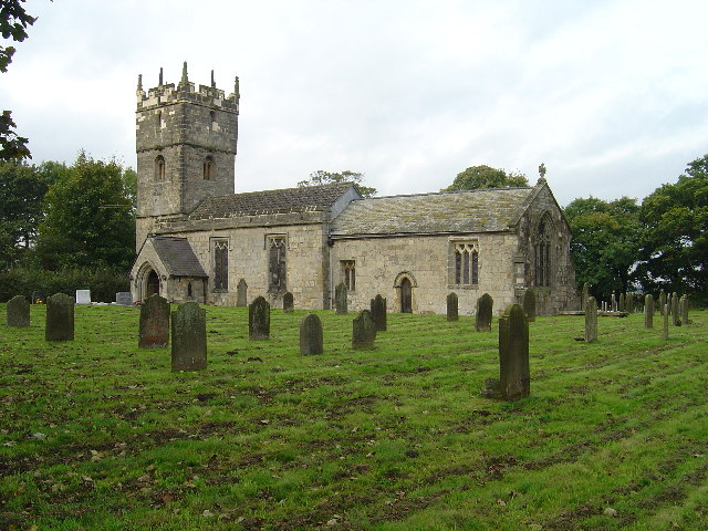
Image: © Ian Lavender Taken: 19 Oct 2005
A peaceful part of this village which is dominated by the A1079 Hull to York Road.
Images are licensed for reuse under creativecommons.org/licenses/by-sa/2.0
Image Location


Leaflet Map data © OpenStreetMap
Latitude
53.90367
Longitude
-0.751888