Craichie Burn
Introduction
The photograph on this page of Craichie Burn by Chris Newman as part of the Geograph project.
The Geograph project started in 2005 with the aim of publishing, organising and preserving representative images for every square kilometre of Great Britain, Ireland and the Isle of Man.

There are currently over 7.5m images from over 14,400 individuals and you can help contribute to the project by visiting https://www.geograph.org.uk
Craichie Burn
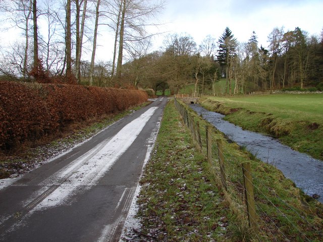
Image: © Chris Newman Taken: 2 Feb 2008
Craichie Burn runs parallel for a short distance with the Barwhillanty - Diamonds Laggan lane just north of Craichie Glen. A February overnight fall of snow is quickly clearing.
Images are licensed for reuse under creativecommons.org/licenses/by-sa/2.0
Image Location


Leaflet Map data © OpenStreetMap
Latitude
55.016266
Longitude
-4.00591