Flush bracket benchmark, Newtown
Introduction
The photograph on this page of Flush bracket benchmark, Newtown by Adrian Taylor as part of the Geograph project.
The Geograph project started in 2005 with the aim of publishing, organising and preserving representative images for every square kilometre of Great Britain, Ireland and the Isle of Man.

There are currently over 7.5m images from over 14,400 individuals and you can help contribute to the project by visiting https://www.geograph.org.uk
Flush bracket benchmark, Newtown
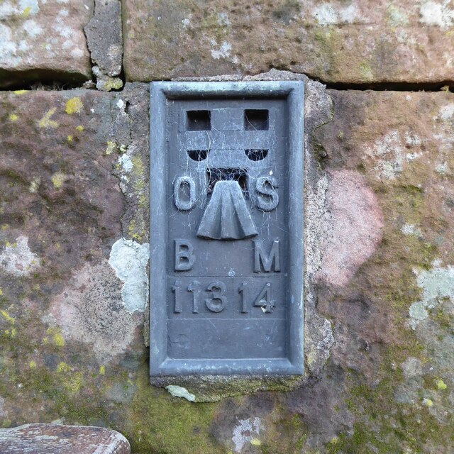
Image: © Adrian Taylor Taken: 10 Feb 2021
Detail of the Ordnance Survey flush bracket benchmark number 11314 on the south corner of a farm building at Dale Croft. The benchmark marks a height of 64.7444m above sea level (Ordnance Datum Newlyn) levelled in 1971 and last verified in 1975 (location photograph Image).
Images are licensed for reuse under creativecommons.org/licenses/by-sa/2.0
Image Location
Latitude
54.958742
Longitude
-2.78438