Commemorative Marker on the A417 Ermin Way
Introduction
The photograph on this page of Commemorative Marker on the A417 Ermin Way by I K Roberts as part of the Geograph project.
The Geograph project started in 2005 with the aim of publishing, organising and preserving representative images for every square kilometre of Great Britain, Ireland and the Isle of Man.

There are currently over 7.5m images from over 14,400 individuals and you can help contribute to the project by visiting https://www.geograph.org.uk
Commemorative Marker on the A417 Ermin Way
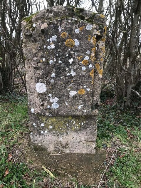
Image: © I K Roberts Taken: Unknown
Commemorative Marker against bushes on the northeast side of the A417 Ermin Way, opposite the Highwayman PH. Elkstone parish. Inscribed 1892 / HERE / FORMERLY STOOD / THE / BEECHES TURNPIKE / TOLLHOUSE / BEECH PIKE. Milestone Society National ID: GL_ELKSTO01cm
Images are licensed for reuse under creativecommons.org/licenses/by-sa/2.0
Image Location


Leaflet Map data © OpenStreetMap
Latitude
51.79627
Longitude
-2.050124