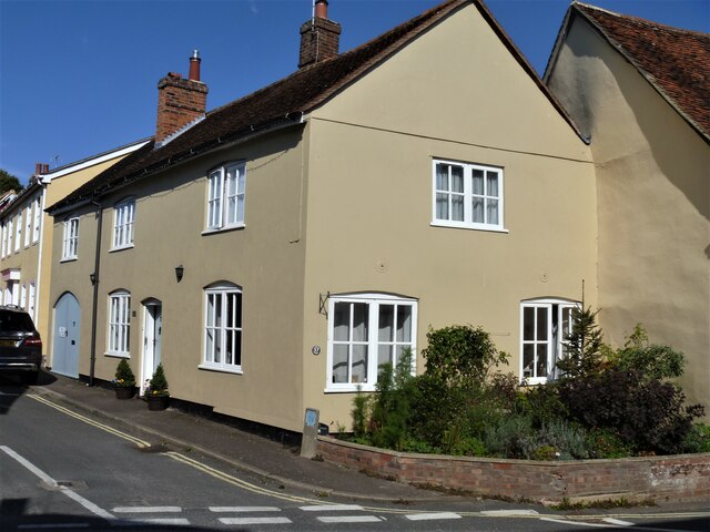
Lavenham houses [62]
Introduction
The photograph on this page of Lavenham houses [62] by Michael Dibb as part of the Geograph project.
The Geograph project started in 2005 with the aim of publishing, organising and preserving representative images for every square kilometre of Great Britain, Ireland and the Isle of Man.
There are currently over 7.5m images from over 14,400 individuals and you can help contribute to the project by visiting https://www.geograph.org.uk

Image: © Michael Dibb Taken: 13 Sep 2020
Number 37 Water Street is gable end to the street and has its entrance door in Shilling Street. A late 18th or early 19th century building in brick. Listed, grade II, with details at: https://historicengland.org.uk/listing/the-list/list-entry/1037170 Lavenham is a village in Suffolk about 5 miles north east of Sudbury. The village has Saxon origins but is best known as a medieval wool town. Granted a market charter in 1257, the village prospered in the 15th century and many buildings date to that period. The town grew so fast that many of the houses were built in haste with green timber. As the wood dried, the timbers warped causing the houses to bend at unexpected angles. Unfortunately, the good times didn't last long and the cloth industry declined so no one had money to rebuild their homes and Lavenham’s crooked houses were left as they were.

