Old Milestone, A659, Harewood Road
Introduction
The photograph on this page of Old Milestone, A659, Harewood Road by Christine Minto as part of the Geograph project.
The Geograph project started in 2005 with the aim of publishing, organising and preserving representative images for every square kilometre of Great Britain, Ireland and the Isle of Man.

There are currently over 7.5m images from over 14,400 individuals and you can help contribute to the project by visiting https://www.geograph.org.uk
Old Milestone, A659, Harewood Road
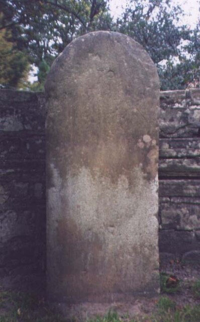
Image: © Christine Minto Taken: 21 Dec 2005
The third old milestone at the east end of Collingham Village Hall along a Public Right of Way by the entrance to a public garden/open space. Most likely it was once on the road to Harewood, A659 at SE 38293 45891. A modern image can be seen at Image Erected by Tadcaster & Otley turnpike trust, 19th century. Inscription: To / H(arewoo )D / (5 / Tadcaster / 7) Milestone Society National ID: YW_XCOLc
Images are licensed for reuse under creativecommons.org/licenses/by-sa/2.0
Image Location
Latitude
53.908516
Longitude
-1.40981