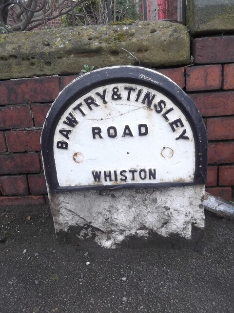
Old milestone, A631 West Bawtry Road, Canklow
Introduction
The photograph on this page of Old milestone, A631 West Bawtry Road, Canklow by Chris Minto as part of the Geograph project.
The Geograph project started in 2005 with the aim of publishing, organising and preserving representative images for every square kilometre of Great Britain, Ireland and the Isle of Man.
There are currently over 7.5m images from over 14,400 individuals and you can help contribute to the project by visiting https://www.geograph.org.uk

Image: © Chris Minto Taken: 11 Mar 2018
In 1992 the remnants of this West Riding CC milestone were recorded on the opposite side of the A631. When this part of West Bawtry Road was dualled about 1995 for better access to junction 33 of the M1, it was set on, what is now, the service road in front of No.87. The left face was SHEFFIELD 6 MILES/TINSLEY 2 MILES. On the right BARNBY MOOR 17¼ MILES/BAWTRY 15 MILES/TICKHILL 11½ MILES. There is an OS hole in the top. Grade II listed 335717.

