Dobb Wood, Ashworth Valley
Introduction
The photograph on this page of Dobb Wood, Ashworth Valley by John Westhead as part of the Geograph project.
The Geograph project started in 2005 with the aim of publishing, organising and preserving representative images for every square kilometre of Great Britain, Ireland and the Isle of Man.

There are currently over 7.5m images from over 14,400 individuals and you can help contribute to the project by visiting https://www.geograph.org.uk
Dobb Wood, Ashworth Valley
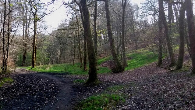
Image: © John Westhead Taken: 23 Apr 2015
Path from Windy Cliff Bridge over the Cheesden Brook looking down Ashworth Valley towards Simpson Clough
Images are licensed for reuse under creativecommons.org/licenses/by-sa/2.0
Image Location
Latitude
53.612058
Longitude
-2.236059