Radyr Junction, 1984
Introduction
The photograph on this page of Radyr Junction, 1984 by Nigel Thompson as part of the Geograph project.
The Geograph project started in 2005 with the aim of publishing, organising and preserving representative images for every square kilometre of Great Britain, Ireland and the Isle of Man.

There are currently over 7.5m images from over 14,400 individuals and you can help contribute to the project by visiting https://www.geograph.org.uk
Radyr Junction, 1984
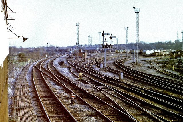
Image: © Nigel Thompson Taken: 10 Feb 1984
The main lines were still there in 2020, but the mass of sidings have long-since disappeared. Taken from the old signalbox.
Images are licensed for reuse under creativecommons.org/licenses/by-sa/2.0
Image Location
Latitude
51.514724
Longitude
-3.246364