Western end of the Yeadon Cycleway
Introduction
The photograph on this page of Western end of the Yeadon Cycleway by Stephen Craven as part of the Geograph project.
The Geograph project started in 2005 with the aim of publishing, organising and preserving representative images for every square kilometre of Great Britain, Ireland and the Isle of Man.

There are currently over 7.5m images from over 14,400 individuals and you can help contribute to the project by visiting https://www.geograph.org.uk
Western end of the Yeadon Cycleway
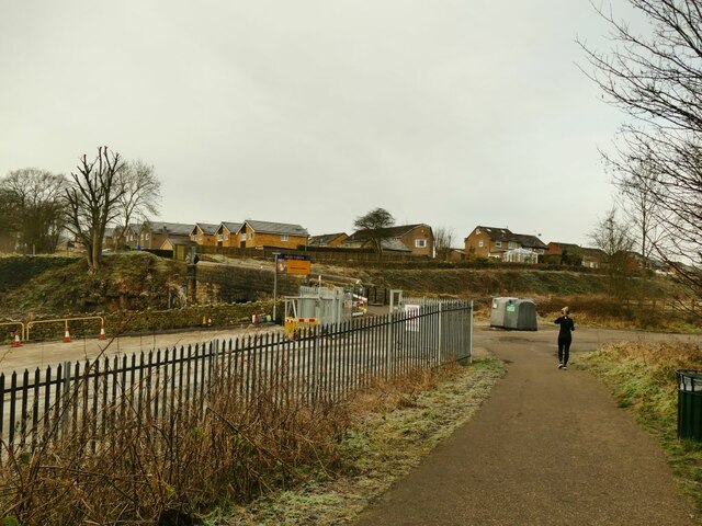
Image: © Stephen Craven Taken: 24 Jan 2021
At this point the route meets the road called Ghyll Royd and the single-track railway came off an embankment to be roughly at natural ground level. But the main line is in a cutting and the branch turned to the right, descending for a further 240 metres in parallel with the main line to join it at Rawdon Junction.
Images are licensed for reuse under creativecommons.org/licenses/by-sa/2.0
Image Location
Latitude
53.867284
Longitude
-1.706775