Symons Cyder Mills - Totnes c.1960
Introduction
The photograph on this page of Symons Cyder Mills - Totnes c.1960 by Ronald Searle as part of the Geograph project.
The Geograph project started in 2005 with the aim of publishing, organising and preserving representative images for every square kilometre of Great Britain, Ireland and the Isle of Man.

There are currently over 7.5m images from over 14,400 individuals and you can help contribute to the project by visiting https://www.geograph.org.uk
Symons Cyder Mills - Totnes c.1960
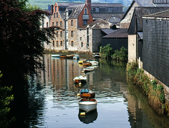
Image: © Ronald Searle Taken: Unknown
The company Symons was evidently still making cider (or cyder) here at this time, but the buildings including an early nineteenth century malthouse have since been converted into housing.
Images are licensed for reuse under creativecommons.org/licenses/by-sa/2.0
Image Location


Leaflet Map data © OpenStreetMap
Latitude
50.42956
Longitude
-3.682977