Remains of a Bench Mark
Introduction
The photograph on this page of Remains of a Bench Mark by Andrew Hardwick as part of the Geograph project.
The Geograph project started in 2005 with the aim of publishing, organising and preserving representative images for every square kilometre of Great Britain, Ireland and the Isle of Man.

There are currently over 7.5m images from over 14,400 individuals and you can help contribute to the project by visiting https://www.geograph.org.uk
Remains of a Bench Mark
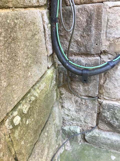
Image: © Andrew Hardwick Taken: 25 Jan 2021
The Bench Mark on Grove House, Moor Road, Ashover has been partially hidden by a later stone buttress. It can just be seen below and to the left of the black cable.
Images are licensed for reuse under creativecommons.org/licenses/by-sa/2.0
Image Location
Latitude
53.167792
Longitude
-1.481019