Plumptre Hospital
Introduction
The photograph on this page of Plumptre Hospital by Alan Murray-Rust as part of the Geograph project.
The Geograph project started in 2005 with the aim of publishing, organising and preserving representative images for every square kilometre of Great Britain, Ireland and the Isle of Man.

There are currently over 7.5m images from over 14,400 individuals and you can help contribute to the project by visiting https://www.geograph.org.uk
Plumptre Hospital
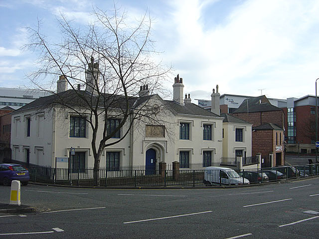
Image: © Alan Murray-Rust Taken: 27 Jan 2008
This was a foundation for a 'Master and 13 poor widows' dating back to 1392, the present building dating from 1823. The patronage had remained with the Plumptre family for the whole of this time, as related on the stone above the doorway. The charity remained in the premises until 1991, after which it stood vacant for 10 years. Since then it has been the RNIB Employment and Education Centre, so it is still providing assistance to disadvantaged people. A close-up of the plaque can be seen here Image
Images are licensed for reuse under creativecommons.org/licenses/by-sa/2.0
Image Location
Latitude
52.950849
Longitude
-1.140279