Muir of Ord village hall
Introduction
The photograph on this page of Muir of Ord village hall by Stephen Craven as part of the Geograph project.
The Geograph project started in 2005 with the aim of publishing, organising and preserving representative images for every square kilometre of Great Britain, Ireland and the Isle of Man.

There are currently over 7.5m images from over 14,400 individuals and you can help contribute to the project by visiting https://www.geograph.org.uk
Muir of Ord village hall
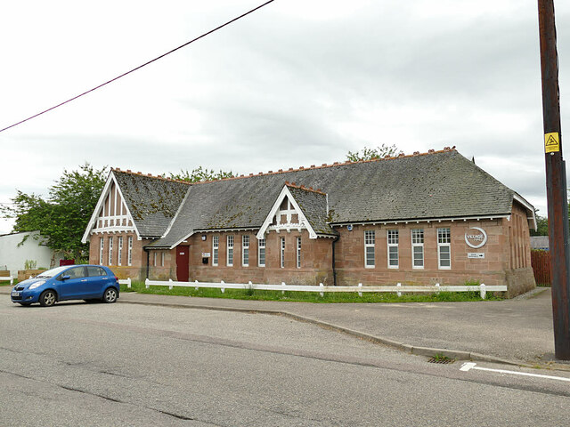
Image: © Stephen Craven Taken: 5 Jul 2019
The hall is in Seaforth Road. It appears on the 1906 map, and judging from its appearance was probably built not long before that. See also Image taken in 2014 - the two small trees in front of the hall have since been removed, probably as part of the 2018 renovation of the building funded by the Highland Council.
Images are licensed for reuse under creativecommons.org/licenses/by-sa/2.0
Image Location
Latitude
57.518864
Longitude
-4.459166