Holywell Mill housing estate, Ashby-de-la-Zouch
Introduction
The photograph on this page of Holywell Mill housing estate, Ashby-de-la-Zouch by Oliver Mills as part of the Geograph project.
The Geograph project started in 2005 with the aim of publishing, organising and preserving representative images for every square kilometre of Great Britain, Ireland and the Isle of Man.

There are currently over 7.5m images from over 14,400 individuals and you can help contribute to the project by visiting https://www.geograph.org.uk
Holywell Mill housing estate, Ashby-de-la-Zouch
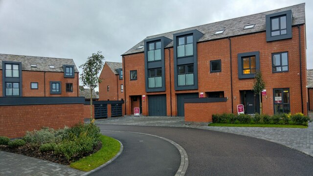
Image: © Oliver Mills Taken: 17 Jan 2021
Various houses of different forms in the new housing estate, on the site of the destroyed Holywell Mill. The estate is only partially inhabited and will be a gated community.
Images are licensed for reuse under creativecommons.org/licenses/by-sa/2.0
Image Location
Latitude
52.748922
Longitude
-1.47626