Track to Spring House
Introduction
The photograph on this page of Track to Spring House by Gordon Hatton as part of the Geograph project.
The Geograph project started in 2005 with the aim of publishing, organising and preserving representative images for every square kilometre of Great Britain, Ireland and the Isle of Man.

There are currently over 7.5m images from over 14,400 individuals and you can help contribute to the project by visiting https://www.geograph.org.uk
Track to Spring House
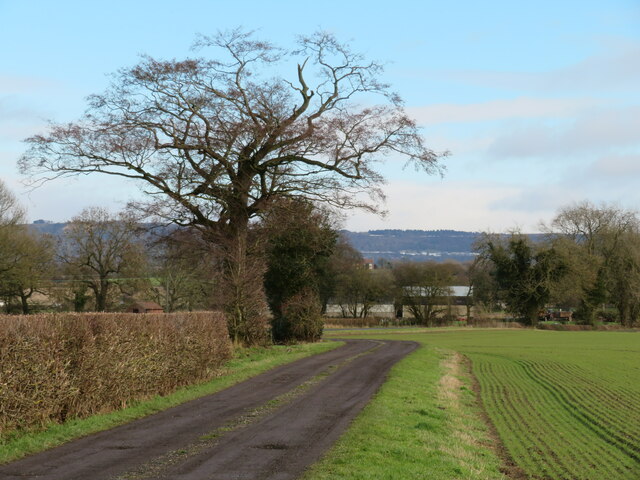
Image: © Gordon Hatton Taken: 18 Jan 2021
Track to Spring House farm off Moor End Lane. The farmhouse is roughly halfway between the lane and the A19 to the east.
Images are licensed for reuse under creativecommons.org/licenses/by-sa/2.0
Image Location
Latitude
54.211944
Longitude
-1.323154