Marlborough Gate
Introduction
The photograph on this page of Marlborough Gate by Ian Capper as part of the Geograph project.
The Geograph project started in 2005 with the aim of publishing, organising and preserving representative images for every square kilometre of Great Britain, Ireland and the Isle of Man.

There are currently over 7.5m images from over 14,400 individuals and you can help contribute to the project by visiting https://www.geograph.org.uk
Marlborough Gate
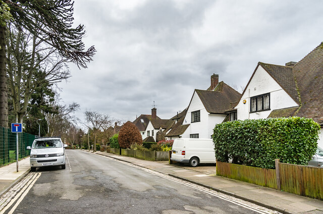
Image: © Ian Capper Taken: 21 Feb 2020
Cul-de-sac off Upper Latimore Road, developed in 1923 on the former land of Marlborough House (see Image), following the sale of the house to Loreto College that year.
Images are licensed for reuse under creativecommons.org/licenses/by-sa/2.0
Image Location
Latitude
51.751545
Longitude
-0.33157