2008 : Chancefield Farm
Introduction
The photograph on this page of 2008 : Chancefield Farm by Maurice Pullin as part of the Geograph project.
The Geograph project started in 2005 with the aim of publishing, organising and preserving representative images for every square kilometre of Great Britain, Ireland and the Isle of Man.

There are currently over 7.5m images from over 14,400 individuals and you can help contribute to the project by visiting https://www.geograph.org.uk
2008 : Chancefield Farm
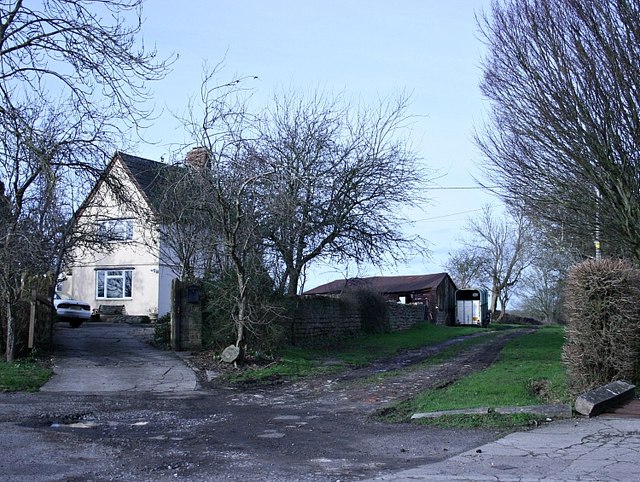
Image: © Maurice Pullin Taken: 26 Jan 2008
How did the farm get its name? One imagines the dissolute son of some 18th century squire losing it in a game of cards. Or the prospective farmer looking over the land and saying "Alright, I'll take a chance on it." perhaps it once belonged to a Mr.Chancefield.
Images are licensed for reuse under creativecommons.org/licenses/by-sa/2.0
Image Location
Latitude
51.293306
Longitude
-2.257665