The Slade at Plumstead Common
Introduction
The photograph on this page of The Slade at Plumstead Common by Marathon as part of the Geograph project.
The Geograph project started in 2005 with the aim of publishing, organising and preserving representative images for every square kilometre of Great Britain, Ireland and the Isle of Man.

There are currently over 7.5m images from over 14,400 individuals and you can help contribute to the project by visiting https://www.geograph.org.uk
The Slade at Plumstead Common
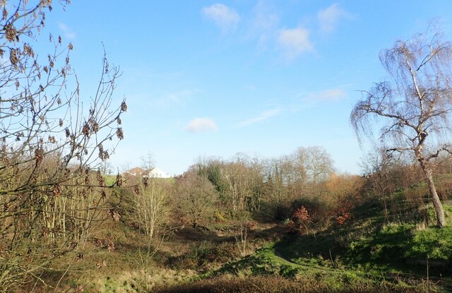
Image: © Marathon Taken: 17 Jan 2021
Plumstead Common is as near as the North of England you can get in London. It has ravines, steep steps and houses built up hillsides. This view is of the ravine known as The Slade. The white building just seen at the top is the hall of St Mark's with St Margaret's Church.
Images are licensed for reuse under creativecommons.org/licenses/by-sa/2.0
Image Location
Latitude
51.480382
Longitude
0.087572