Ladley Burn
Introduction
The photograph on this page of Ladley Burn by Trevor Littlewood as part of the Geograph project.
The Geograph project started in 2005 with the aim of publishing, organising and preserving representative images for every square kilometre of Great Britain, Ireland and the Isle of Man.

There are currently over 7.5m images from over 14,400 individuals and you can help contribute to the project by visiting https://www.geograph.org.uk
Ladley Burn
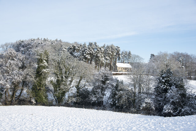
Image: © Trevor Littlewood Taken: 15 Jan 2021
The large house at Ladley Burn might be thought to have taken its name from a nearby stream but no such named watercourse can be found on OS maps. The stream within the trees beyond the foreground field is Thornhope Beck.
Images are licensed for reuse under creativecommons.org/licenses/by-sa/2.0
Image Location
Latitude
54.73657
Longitude
-1.896689