Victoria Place
Introduction
The photograph on this page of Victoria Place by Robin Drayton as part of the Geograph project.
The Geograph project started in 2005 with the aim of publishing, organising and preserving representative images for every square kilometre of Great Britain, Ireland and the Isle of Man.

There are currently over 7.5m images from over 14,400 individuals and you can help contribute to the project by visiting https://www.geograph.org.uk
Victoria Place
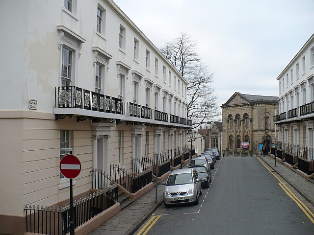
Image: © Robin Drayton Taken: 28 Jan 2008
Viewed from Stow Hill towards Image A blue plaque on one of the houses gives the date as 1844 and states "Rennie-Logan, Builders of the Town Dock, erected this regency style terrace on land given by William Townsend to provide access to Stow Hill from the South East".
Images are licensed for reuse under creativecommons.org/licenses/by-sa/2.0
Image Location
Latitude
51.5841
Longitude
-2.996688