Westhall Road
Introduction
The photograph on this page of Westhall Road by Malcolm Neal as part of the Geograph project.
The Geograph project started in 2005 with the aim of publishing, organising and preserving representative images for every square kilometre of Great Britain, Ireland and the Isle of Man.

There are currently over 7.5m images from over 14,400 individuals and you can help contribute to the project by visiting https://www.geograph.org.uk
Westhall Road
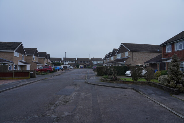
Image: © Malcolm Neal Taken: 15 Jan 2021
Westhall Road is a cul-de-sac branching off Ladybank Road. here are two narrow 'jitties' that connect it to other roads if you are a pedestrian.
Images are licensed for reuse under creativecommons.org/licenses/by-sa/2.0
Image Location
Latitude
52.914881
Longitude
-1.544751