The former site of Highdykes Farm
Introduction
The photograph on this page of The former site of Highdykes Farm by Lairich Rig as part of the Geograph project.
The Geograph project started in 2005 with the aim of publishing, organising and preserving representative images for every square kilometre of Great Britain, Ireland and the Isle of Man.

There are currently over 7.5m images from over 14,400 individuals and you can help contribute to the project by visiting https://www.geograph.org.uk
The former site of Highdykes Farm
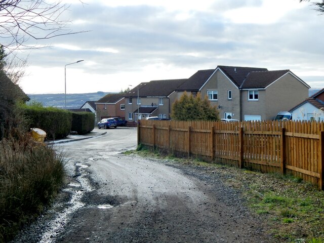
Image: © Lairich Rig Taken: 5 Jan 2021
The site in question is, roughly, the location of the buildings slightly left of centre, that is, the ones behind the left-hand end of the fence. The farm was shown here on the first-edition OS map (surveyed in 1860) and on later maps throughout much of the twentieth century. The viewpoint is from the point where a track first enters a built-up area, which is part of Broomhill Crescent (Image), in the Beechwood and Wheatcroft Estate. For a view in the opposite direction from the same point on the track, see Image Followed in that direction, it leads to the current location of Image; see that picture for further comments.
Images are licensed for reuse under creativecommons.org/licenses/by-sa/2.0
Image Location
Latitude
55.973232
Longitude
-4.555218