Woodland track south-east of Spring Hill, Wolverhampton
Introduction
The photograph on this page of Woodland track south-east of Spring Hill, Wolverhampton by Roger Kidd as part of the Geograph project.
The Geograph project started in 2005 with the aim of publishing, organising and preserving representative images for every square kilometre of Great Britain, Ireland and the Isle of Man.

There are currently over 7.5m images from over 14,400 individuals and you can help contribute to the project by visiting https://www.geograph.org.uk
Woodland track south-east of Spring Hill, Wolverhampton
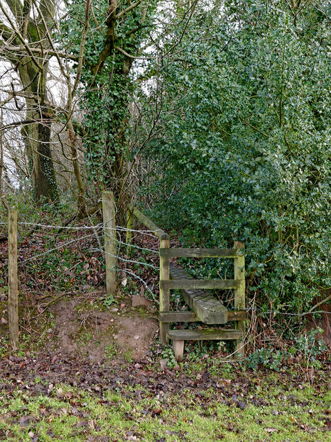
Image: © Roger Kidd Taken: 12 Jan 2021
The public footpath passes through a small wood, and into the grounds of St Anthony's Care Home.
Images are licensed for reuse under creativecommons.org/licenses/by-sa/2.0
Image Location
Latitude
52.550297
Longitude
-2.167637