Burnley Way
Introduction
The photograph on this page of Burnley Way by Stephen Shaw as part of the Geograph project.
The Geograph project started in 2005 with the aim of publishing, organising and preserving representative images for every square kilometre of Great Britain, Ireland and the Isle of Man.

There are currently over 7.5m images from over 14,400 individuals and you can help contribute to the project by visiting https://www.geograph.org.uk
Burnley Way
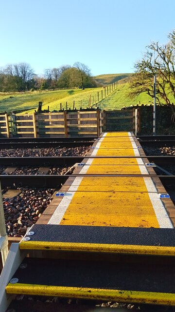
Image: © Stephen Shaw Taken: 12 Jan 2021
The Burnley Way crossing the Burnley to Todmorden line. The recently renewed planking is now a pleasure to cross.
Images are licensed for reuse under creativecommons.org/licenses/by-sa/2.0
Image Location
Latitude
53.766072
Longitude
-2.21083