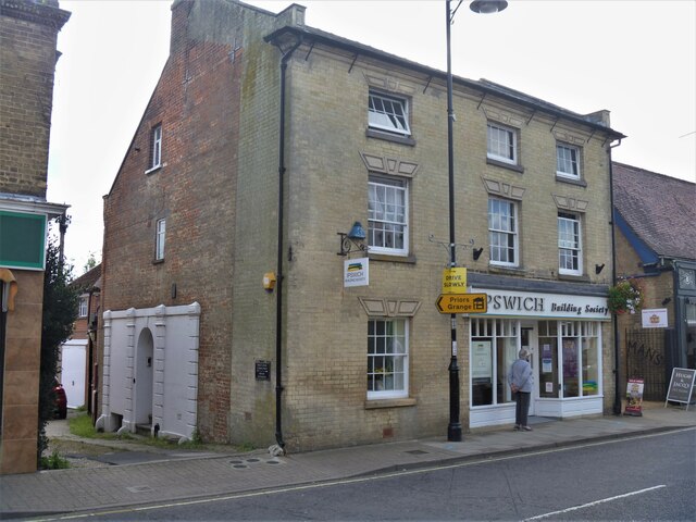
Saxmundham buildings [4]
Introduction
The photograph on this page of Saxmundham buildings [4] by Michael Dibb as part of the Geograph project.
The Geograph project started in 2005 with the aim of publishing, organising and preserving representative images for every square kilometre of Great Britain, Ireland and the Isle of Man.
There are currently over 7.5m images from over 14,400 individuals and you can help contribute to the project by visiting https://www.geograph.org.uk

Image: © Michael Dibb Taken: 10 Sep 2020
Number 10 High Street, now offices with a maisonette above, was built as a house in the early 19th century with the top floor added circa 1840. Built in red brick with a gault brick front. The shop front is 20th century. Listed, grade II, with details at: https://historicengland.org.uk/listing/the-list/list-entry/1268188 Saxmundham is a small market town about 5 miles from the Sussex coast and some 18 miles north east of Ipswich. The River Fromus, a tributary of the River Alde flows through the town. A market charter was first granted in 1272 and a market is still held every Wednesday. Until 1988 the town was astride the A12 trunk road but is now bypassed.

