Dalehouse, Staithes
Introduction
The photograph on this page of Dalehouse, Staithes by Humphrey Bolton as part of the Geograph project.
The Geograph project started in 2005 with the aim of publishing, organising and preserving representative images for every square kilometre of Great Britain, Ireland and the Isle of Man.

There are currently over 7.5m images from over 14,400 individuals and you can help contribute to the project by visiting https://www.geograph.org.uk
Dalehouse, Staithes
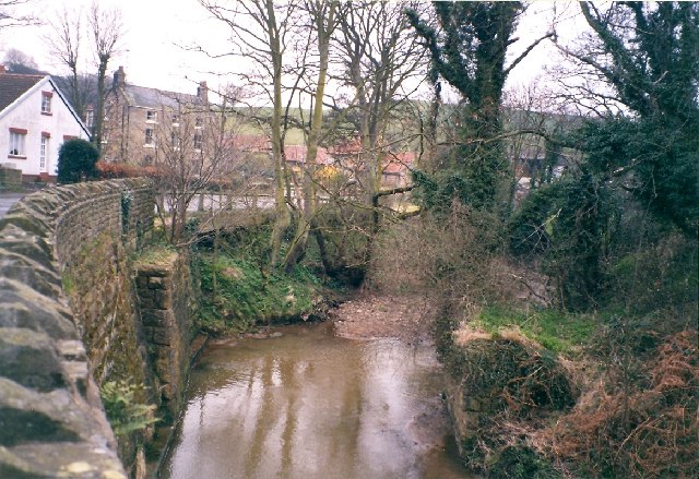
Image: © Humphrey Bolton Taken: Unknown
This is a hamlet alongside the stream that flows through Staithes. In the foreground are the abutments of a mineral railway bridge. The railway went through a tunnel to Port Mulgrave.
Images are licensed for reuse under creativecommons.org/licenses/by-sa/2.0
Image Location


Leaflet Map data © OpenStreetMap
Latitude
54.550395
Longitude
-0.800255