Satellite Dishes!
Introduction
The photograph on this page of Satellite Dishes! by Anne Burgess as part of the Geograph project.
The Geograph project started in 2005 with the aim of publishing, organising and preserving representative images for every square kilometre of Great Britain, Ireland and the Isle of Man.

There are currently over 7.5m images from over 14,400 individuals and you can help contribute to the project by visiting https://www.geograph.org.uk
Satellite Dishes!
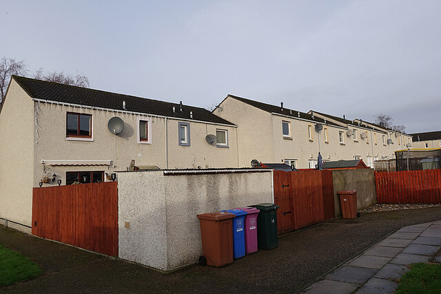
Image: © Anne Burgess Taken: 10 Jan 2021
Having seen the demise of the outside television aerials that used to adorn almost every rooftop, it seems a pity that they have been replaced by the equally unsightly phenomenon of satellite dishes on every upper storey.
Images are licensed for reuse under creativecommons.org/licenses/by-sa/2.0
Image Location
Latitude
57.607862
Longitude
-3.096478