15 Alma Road
Introduction
The photograph on this page of 15 Alma Road by Ian Capper as part of the Geograph project.
The Geograph project started in 2005 with the aim of publishing, organising and preserving representative images for every square kilometre of Great Britain, Ireland and the Isle of Man.

There are currently over 7.5m images from over 14,400 individuals and you can help contribute to the project by visiting https://www.geograph.org.uk
15 Alma Road
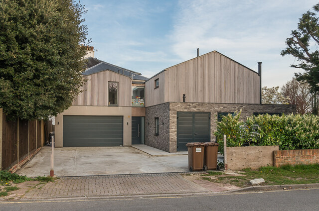
Image: © Ian Capper Taken: 7 Apr 2020
House in Alma Road by its junction with Wray Common Road, originally built in the c1960s (along with its neighbour, no 17) on the site of 1 Wray Common Road and then substantially rebuilt around 2019.
Images are licensed for reuse under creativecommons.org/licenses/by-sa/2.0
Image Location
Latitude
51.244473
Longitude
-0.201936