Alma Road
Introduction
The photograph on this page of Alma Road by Ian Capper as part of the Geograph project.
The Geograph project started in 2005 with the aim of publishing, organising and preserving representative images for every square kilometre of Great Britain, Ireland and the Isle of Man.

There are currently over 7.5m images from over 14,400 individuals and you can help contribute to the project by visiting https://www.geograph.org.uk
Alma Road
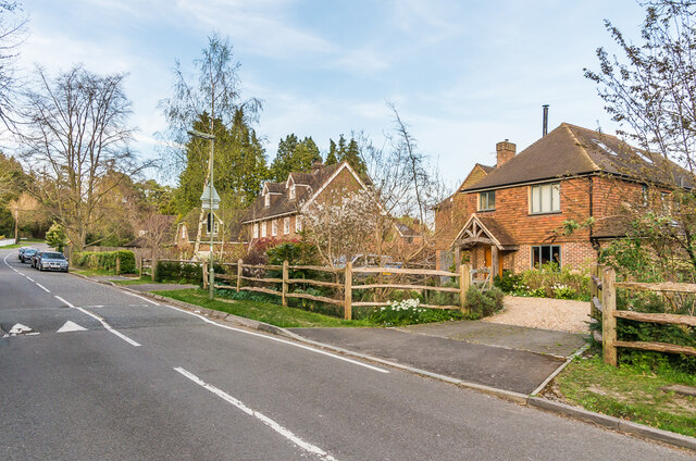
Image: © Ian Capper Taken: 7 Apr 2020
Looking up Alma Road. The house on the right is no 25a, which maps suggest was one of a pair of houses built in the c1960s on the site of a previous house named The Red Lodge.
Images are licensed for reuse under creativecommons.org/licenses/by-sa/2.0
Image Location
Latitude
51.246052
Longitude
-0.200513