Downland Gardens
Introduction
The photograph on this page of Downland Gardens by Ian Capper as part of the Geograph project.
The Geograph project started in 2005 with the aim of publishing, organising and preserving representative images for every square kilometre of Great Britain, Ireland and the Isle of Man.

There are currently over 7.5m images from over 14,400 individuals and you can help contribute to the project by visiting https://www.geograph.org.uk
Downland Gardens
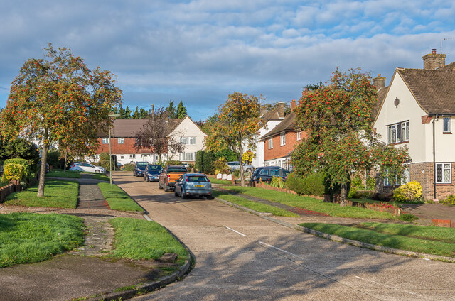
Image: © Ian Capper Taken: 9 Oct 2020
Housing in Great Burgh in an area which maps suggest was developed either immediately before or after the Second World War.
Images are licensed for reuse under creativecommons.org/licenses/by-sa/2.0
Image Location
Latitude
51.311181
Longitude
-0.238013