The field south of the Brue
Introduction
The photograph on this page of The field south of the Brue by Neil Owen as part of the Geograph project.
The Geograph project started in 2005 with the aim of publishing, organising and preserving representative images for every square kilometre of Great Britain, Ireland and the Isle of Man.

There are currently over 7.5m images from over 14,400 individuals and you can help contribute to the project by visiting https://www.geograph.org.uk
The field south of the Brue
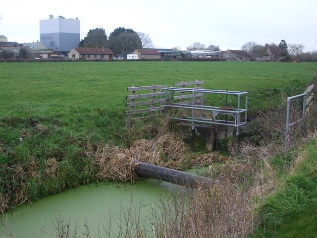
Image: © Neil Owen Taken: 30 Dec 2020
Looking northeastwards across Moor Row and one of the many drainage channels here abouts. Across the River Brue is part of the former milk processing factory, now a multi-business industrial estate.
Images are licensed for reuse under creativecommons.org/licenses/by-sa/2.0
Image Location
Latitude
51.206023
Longitude
-2.938258