Celandine Route along the River Pinn ? a bend in the river
Introduction
The photograph on this page of Celandine Route along the River Pinn ? a bend in the river by Peter S as part of the Geograph project.
The Geograph project started in 2005 with the aim of publishing, organising and preserving representative images for every square kilometre of Great Britain, Ireland and the Isle of Man.

There are currently over 7.5m images from over 14,400 individuals and you can help contribute to the project by visiting https://www.geograph.org.uk
Celandine Route along the River Pinn ? a bend in the river
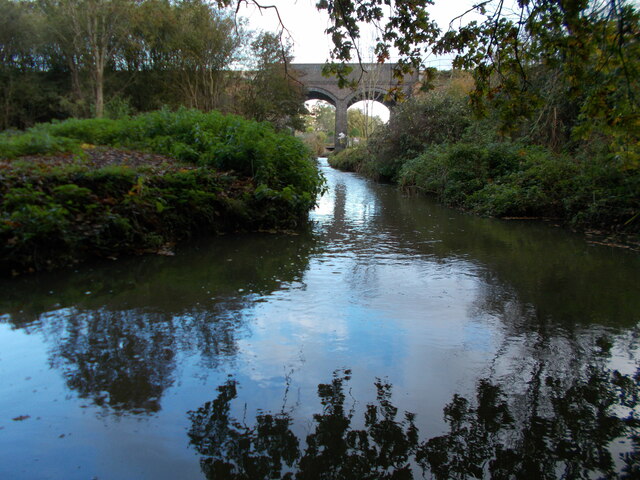
Image: © Peter S Taken: 22 Oct 2020
On the Celandine Route passing under the railway line near to Pynchester Moat.
Images are licensed for reuse under creativecommons.org/licenses/by-sa/2.0
Image Location
Latitude
51.572918
Longitude
-0.452378