Flooded drain at Long Bennington
Introduction
The photograph on this page of Flooded drain at Long Bennington by Jonathan Thacker as part of the Geograph project.
The Geograph project started in 2005 with the aim of publishing, organising and preserving representative images for every square kilometre of Great Britain, Ireland and the Isle of Man.

There are currently over 7.5m images from over 14,400 individuals and you can help contribute to the project by visiting https://www.geograph.org.uk
Flooded drain at Long Bennington
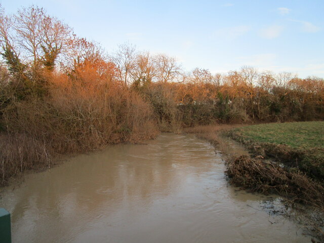
Image: © Jonathan Thacker Taken: 27 Dec 2020
This drain seems to be carrying much of the flow of the River Witham while in spate. The main course of the river is obstructed by a narrow weir below Bennington Road Bridge.
Images are licensed for reuse under creativecommons.org/licenses/by-sa/2.0
Image Location
Latitude
53.000638
Longitude
-0.753049