Bottesford Station
Introduction
The photograph on this page of Bottesford Station by Jonathan Thacker as part of the Geograph project.
The Geograph project started in 2005 with the aim of publishing, organising and preserving representative images for every square kilometre of Great Britain, Ireland and the Isle of Man.

There are currently over 7.5m images from over 14,400 individuals and you can help contribute to the project by visiting https://www.geograph.org.uk
Bottesford Station
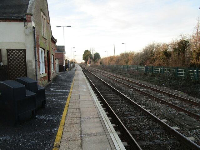
Image: © Jonathan Thacker Taken: 27 Dec 2020
Bottesford Station has staggered platforms. This platform is raised part way along its length.
Images are licensed for reuse under creativecommons.org/licenses/by-sa/2.0
Image Location
Latitude
52.944984
Longitude
-0.796023