Harbour Inlet
Introduction
The photograph on this page of Harbour Inlet by Wayland Smith as part of the Geograph project.
The Geograph project started in 2005 with the aim of publishing, organising and preserving representative images for every square kilometre of Great Britain, Ireland and the Isle of Man.

There are currently over 7.5m images from over 14,400 individuals and you can help contribute to the project by visiting https://www.geograph.org.uk
Harbour Inlet
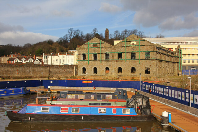
Image: © Wayland Smith Taken: 7 Jan 2012
A view that is unrecognisable after only 8 years. The land around Harbour Inlet has been completely redeveloped.
Images are licensed for reuse under creativecommons.org/licenses/by-sa/2.0
Image Location


Leaflet Map data © OpenStreetMap
Latitude
51.449916
Longitude
-2.606077