Near Wash
Introduction
The photograph on this page of Near Wash by Derek Harper as part of the Geograph project.
The Geograph project started in 2005 with the aim of publishing, organising and preserving representative images for every square kilometre of Great Britain, Ireland and the Isle of Man.

There are currently over 7.5m images from over 14,400 individuals and you can help contribute to the project by visiting https://www.geograph.org.uk
Near Wash
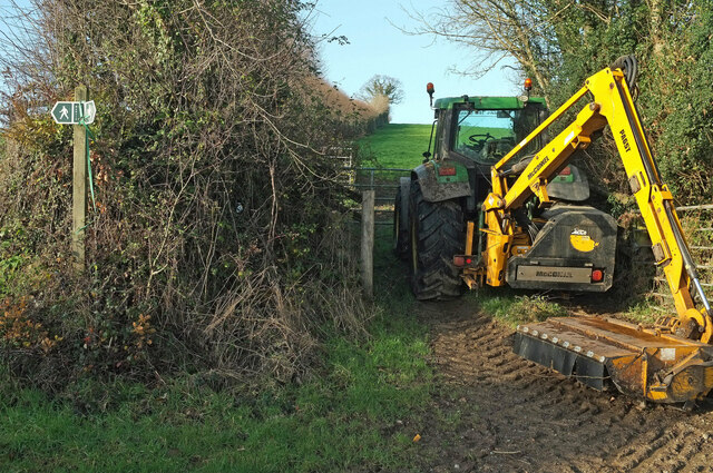
Image: © Derek Harper Taken: 20 Dec 2020
On Staverton footpath 12. The footpath sign points left along a narrow hedge-lined path; there are four much wider tracks at this point, all leading into fields, such the one shown here, whose entrance is blocked by tractor and a McConnel hedge cutter.
Images are licensed for reuse under creativecommons.org/licenses/by-sa/2.0
Image Location
Latitude
50.475327
Longitude
-3.738862