Hall farm house
Introduction
The photograph on this page of Hall farm house by Bob Harvey as part of the Geograph project.
The Geograph project started in 2005 with the aim of publishing, organising and preserving representative images for every square kilometre of Great Britain, Ireland and the Isle of Man.

There are currently over 7.5m images from over 14,400 individuals and you can help contribute to the project by visiting https://www.geograph.org.uk
Hall farm house
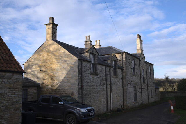
Image: © Bob Harvey Taken: 20 Dec 2020
A grade II* listed building, of the early 19th century, which is currently the centre of a large-scale redevelopment of the house and farm buildings. See https://historicengland.org.uk/listing/the-list/list-entry/1261914
Images are licensed for reuse under creativecommons.org/licenses/by-sa/2.0
Image Location
Latitude
52.93185
Longitude
-0.583185