Burtersett from the bridleway to Drumaldrace
Introduction
The photograph on this page of Burtersett from the bridleway to Drumaldrace by Andy Waddington as part of the Geograph project.
The Geograph project started in 2005 with the aim of publishing, organising and preserving representative images for every square kilometre of Great Britain, Ireland and the Isle of Man.

There are currently over 7.5m images from over 14,400 individuals and you can help contribute to the project by visiting https://www.geograph.org.uk
Burtersett from the bridleway to Drumaldrace
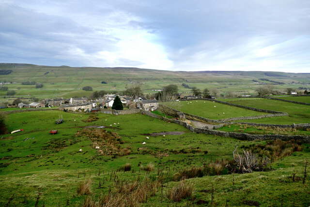
Image: © Andy Waddington Taken: 1 Dec 2020
Burtersett has limited parking for visitors, but forms the starting point for walks on the south side of Wensleydale, such as the ascent of Drumaldrace or Yorburgh (signposted 'Wether Fell'). Whilst the tops on the south of the dale are often small plateaux more or less surrounded by small crags, the view across the dale shows that the general dip of the strata to the northeast has carried these beds to a position lower on the opposite hillsides, leaving linear scars, but more rounded (and often boggy) hilltops.
Images are licensed for reuse under creativecommons.org/licenses/by-sa/2.0
Image Location
Latitude
54.297665
Longitude
-2.170056