Warwick Road
Introduction
The photograph on this page of Warwick Road by Ian Capper as part of the Geograph project.
The Geograph project started in 2005 with the aim of publishing, organising and preserving representative images for every square kilometre of Great Britain, Ireland and the Isle of Man.

There are currently over 7.5m images from over 14,400 individuals and you can help contribute to the project by visiting https://www.geograph.org.uk
Warwick Road
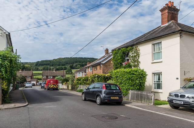
Image: © Ian Capper Taken: 4 Sep 2020
The western end of Warwick Road, with Warwick Close in the background. The building on the right and those on the left are late Victorian.
Images are licensed for reuse under creativecommons.org/licenses/by-sa/2.0
Image Location
Latitude
51.192224
Longitude
-0.326791