Culvert under the old railway line
Introduction
The photograph on this page of Culvert under the old railway line by Richard Sutcliffe as part of the Geograph project.
The Geograph project started in 2005 with the aim of publishing, organising and preserving representative images for every square kilometre of Great Britain, Ireland and the Isle of Man.

There are currently over 7.5m images from over 14,400 individuals and you can help contribute to the project by visiting https://www.geograph.org.uk
Culvert under the old railway line
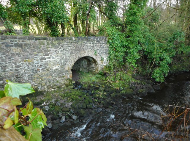
Image: © Richard Sutcliffe Taken: 22 Dec 2020
Looking at old maps, the large culvert just to the west of the Chestnut Walk bridge over the Glazert Water appears to have been to allow water from an old lade to enter the river. The lade led to the Campsie Alum Works just south of the railway.
Images are licensed for reuse under creativecommons.org/licenses/by-sa/2.0
Image Location
Latitude
55.96918
Longitude
-4.196773