Parish church [3]
Introduction
The photograph on this page of Parish church [3] by Michael Dibb as part of the Geograph project.
The Geograph project started in 2005 with the aim of publishing, organising and preserving representative images for every square kilometre of Great Britain, Ireland and the Isle of Man.

There are currently over 7.5m images from over 14,400 individuals and you can help contribute to the project by visiting https://www.geograph.org.uk
Parish church [3]
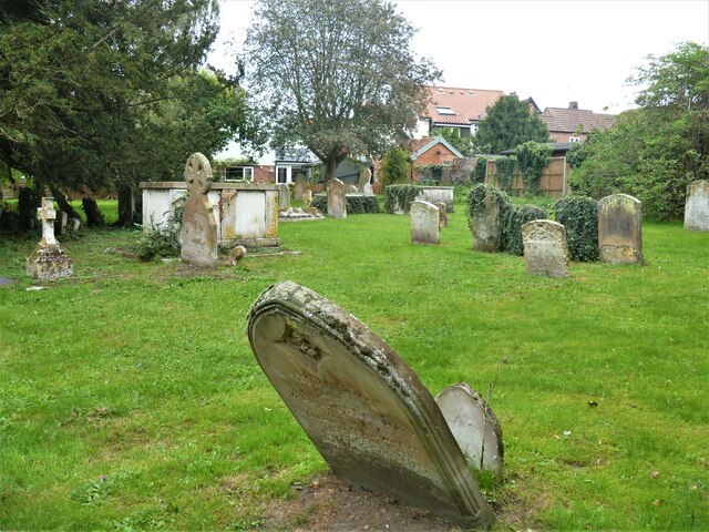
Image: © Michael Dibb Taken: 7 Sep 2020
Part of the churchyard. The parish church of St Mary is late 14th century with a late 15th century tower. The church was enlarged in the early 16th century and restored in the 1850s. Built in random flint with stone dressings. The church contains some fine memorials. Listed, grade I, with details at: https://historicengland.org.uk/listing/the-list/list-entry/1180826 Ixworth is a village some 7 miles north east of Bury St Edmunds. Settled in Roman times and the site of a Roman fort. Later a civilian settlement was established and it became an important junction in the Roman road system of East Anglia. An Augustinian priory was founded in about 1170 and dissolved in 1537. Ixworth is the site of the earliest rural council housing built in England. Now most working residents commute to Bury St Edmunds.
Images are licensed for reuse under creativecommons.org/licenses/by-sa/2.0
Image Location
Latitude
52.297857
Longitude
0.830706